When you click on links to various merchants on this site and make a purchase, this can result in this site earning a commission. Affiliate programs and affiliations include, but are not limited to, the eBay Partner Network.
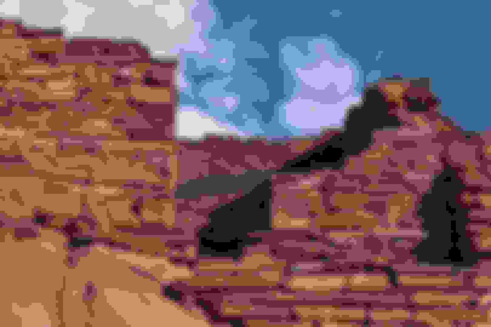
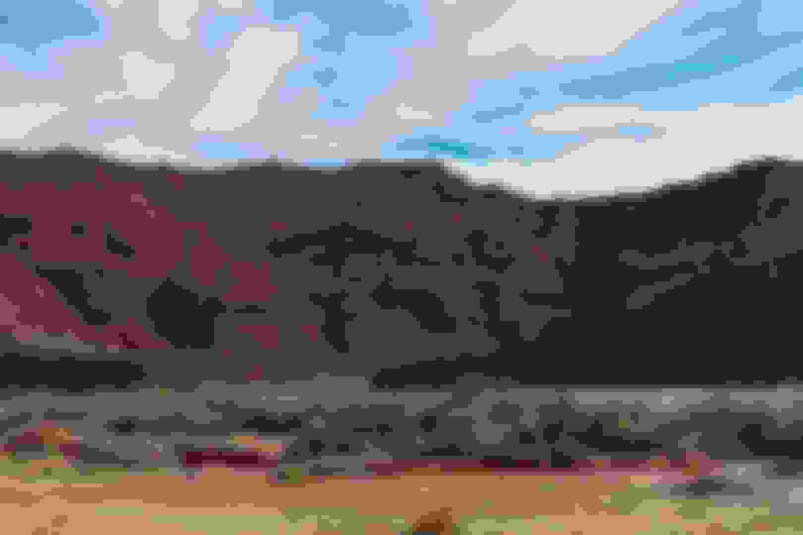
Walnut Canyon National Monument, Flagstaff,Arizona
Come gaze across curved canyon walls. Among the remarkable geological formations of the canyon itself, the former homes of ancient inhabitants are easily evident. Along the trails you can imagine life within Walnut Canyon, while visiting actual pueblos and walking in the steps of those who came before.
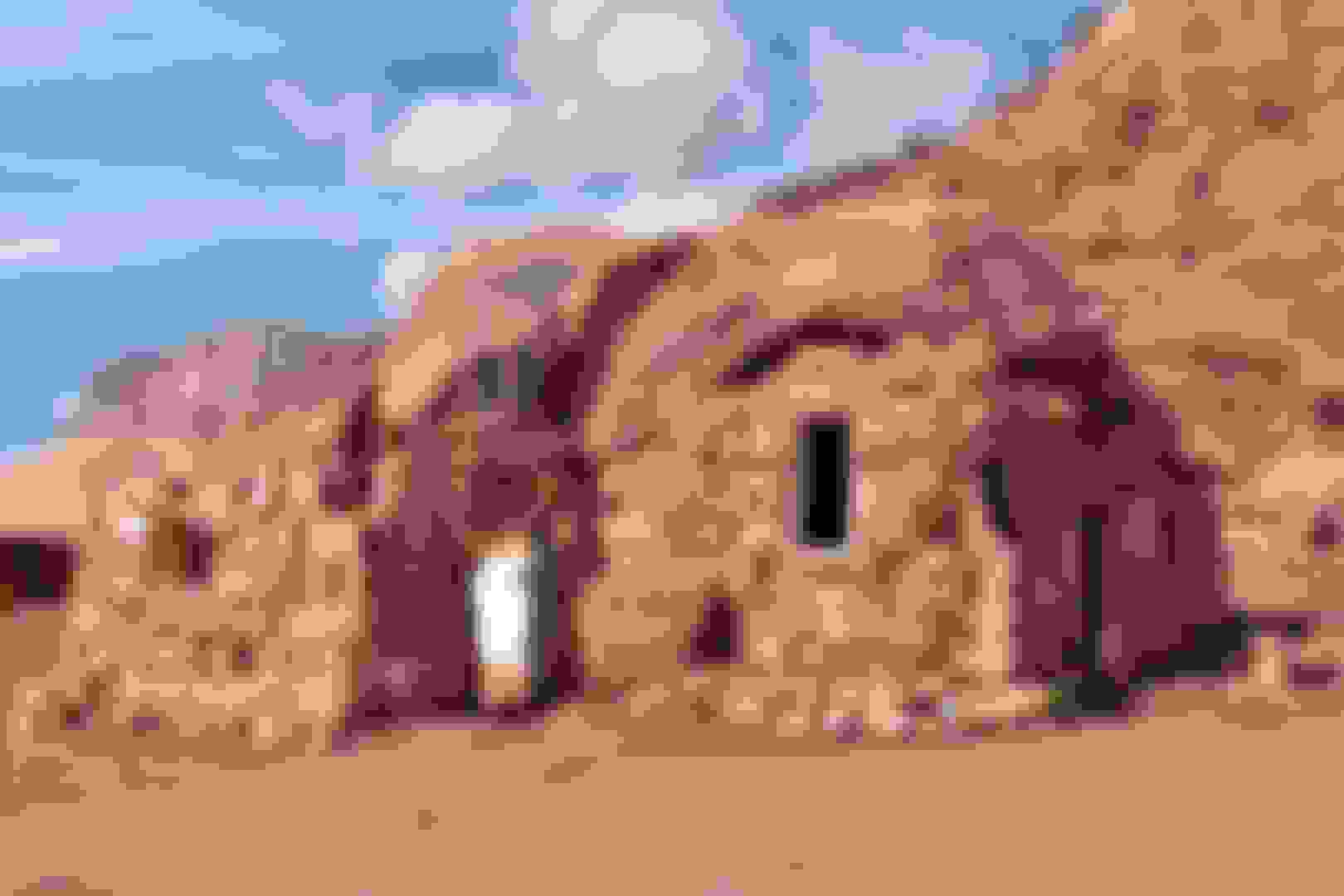
Walnut Canyon has a long human history. Artifacts show that Archaic peoples, who traveled throughout the Southwest thousands of years ago, occupied the canyon at times.Later came the first permanent inhabitants, who flourished in the region from about A.D. 600 until 1400. Archeologists labeled this prehistoric culture Sinagua, from the old Spanish name for the region, Sierra de Sin Agua, or �mountains without water.�
Scattered families farmed the canyon rims for centuries, growing small gardens of corn, squash, and beans. During the 1100s, many moved into limestone alcoves below the canyon rim, where they constructed the cliff dwellings we see today. The Walnut Canyon community thrived for another 150 years before the people moved on.
For a brief time, from about 1100 to 1250, the canyon echoed with the rhythmic beat of a stone axe, the voice of an aged storyteller, children laughing on the rocky slopes. Masonry walls hint of this past, of a time when 100 or more people made their homes and livings here. These people well understood the gifts of the natural world. Deer, bighorn sheep, other wild game, and wild plants supplemented the corn, beans, and squash grown in fields on the canyon rim. Water flowed intermittently on the canyon floor, providing the lifeblood of the community. Shaded pools in the bottom held precious water between rains. In spring, silty snowmelt rumbled through the narrow passage.
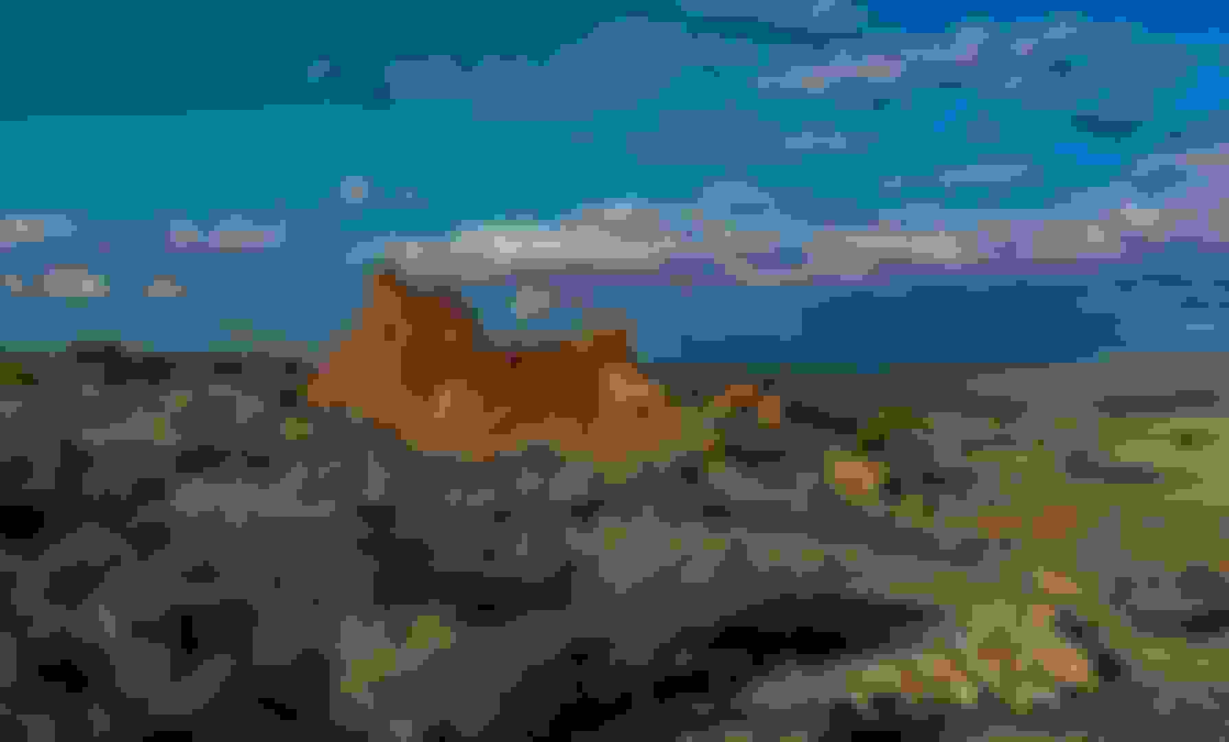
Sunset Crater Volcano National Monument, Flagstaff,Arizona
The cinder cone volcano's rim is the dusky red of sunset, but the crater is only part of the story. Around 1085 the ground began to shake, and lava spewed high into the air. When the eruption finished, it had changed both the landscape and the people who lived here. Today, it teaches how nature and humankind affect each other—and how rebirth and renewal happen in the wake of disaster.
People had been living here for several hundred years, at least, before the volcano erupted. Although we don’t know what they called themselves, archeologists consider them representatives of the Sinagua culture. They were farmers, living in scattered groups adjacent to their corn fields. Their homes were pithouses, dug partially into the ground.
These people lived their lives in a landscape much like what we see today - pine forest and occasional open meadows, framed by the San Francisco Peaks and other ancient volcanoes. Then, about 900 years ago, a new volcano emerged literally before their eyes.
There must have been enough warning for the inhabitants to move out of harm’s way; no evidence has been found that people died as a direct result of the eruption. However, pithouses for miles around were burned and filled with cinders, and others undoubtedly remain buried beneath layers of lava.
In the aftermath, the Sunset Crater area was no longer farmable. People relocated, some to nearby Walnut Canyon and others to Wupatki, where they found that thinner layers of ash and cinders actually benefited crops by holding moisture in the soil. Agriculture and trade flourished for about 100 years before people once again moved on. Their descendants, including the Hopi and Zuni still live nearby; memories of the eruption live on in their stories and traditions.
"Zuni Buffalo Dance Song" from the album Hopi Social Dance Songs by Bernard Dawahoya & Hopi Singers. courtesy Canyon Records Canyon Records-Specializing in Native American music since 1951. Artwork shows Zuni turkey dancers by David Moss.
Nestled between the Painted Desert and ponderosa highlands of northern Arizona, Wupatki is a landscape of legacies. Ancient pueblos dot red-rock outcroppings across miles of prairie. Where food and water seem impossible to find, people built pueblos, raised families, farmed, traded, and thrived. Today, if you linger and listen, earth and artifacts whisper their stories to us still.
A Mi'kmaw Indian (yours truly) guided tour.
My star lit campsite for the night,outside the park.
For its time and place, there was no other pueblo like Wupatki. Less than 800 years ago, it was the tallest, largest, and perhaps the richest and most influential pueblo around. It was home to 85-100 people, and several thousand more lived within a day’s walk. And it was built in one of the lowest, warmest, and driest places on the Colorado Plateau. What compelled people to build here?
Human history here spans at least 10,000 years. But only for a time, in the 1100s, was the landscape this densely populated. The eruption of nearby Sunset Crater Volcano a century earlier probably played a part. Families that lost their homes to ash and lava had to move. They discovered that the cinders blanketing lands to the north could hold moisture needed for crops.
As the new agricultural community spread, small scattered homes were replaced by a few large pueblos, each surrounded by many smaller pueblos and pithouses. Wupatki, Wukoki, Lomaki, and other masonry pueblos emerged from bedrock. Trade networks expanded, bringing exotic items like turquoise, shell jewelry, copper bells, and parrots. Wupatki flourished as a meeting place of different cultures. Then, by about 1250, the people moved on.
The people of Wupatki came here from another place. From Wupatki, they sought out another home. Though no longer occupied, Wupatki is remembered and cared for, not abandoned.
They're still out there.One only needs to be silent and humble enough to hear them.Don't let those silly looking things on the side of your head get in your way.Use your spirit to see and hear.The real you,that your human body only uses for a short time.Listen with your heart and you too will be able to hear the people who walked these lands before us.
Today, Tony Redhouse acts as not only a performer, but as a Native American traditional consultant, teaching seminars in Native American culture, spirituality and arts/crafts to children and adults. Tony has written and developed a culturally based curriculum for all ages that incorporates Native spirituality as a solution to drug, alcohol and gang related issues, using storytelling and dance. This format parlayed into professional speaking, where Tony now uses traditional and contemporary Native themes along with humor to motivate and inspire corporate audiences in a whole new way.
Glen Canyon National Recreation Area - Lees Ferry, southwest of Page,Arizona
Encompassing over 1.25 million acres, Glen Canyon National Recreation Area offers unparalleled opportunities for water-based & backcountry recreation. The recreation area stretches for hundreds of miles from Lees Ferry in Arizona to the Orange Cliffs of southern Utah, encompassing scenic vistas, geologic wonders, and a vast panorama of human history.
In March of 1864, Mormon pioneer Jacob Hamblin and his men built a raft at the mouth of the Paria and made the first successful crossing at the point on the Colorado that would become Lees Ferry, transporting all fifteen men, their supplies and horses. Hamblin was on a mission to warn the Navajo of northern Arizona to stop making raids into Utah, stealing livestock and threatening Mormon expansion. The lands into which the pioneers wanted to move was viewed as "unsettled" territory, theirs for the taking under the precepts of Manifest Destiny, despite millennia of native occupation. Over the next few years, the "war" between the natives and the Mormons escalated, with the Paiute beginning to make raids on Anglo settlements as well. In an effort to deflect native threats to their vulnerable southeastern frontier, the Mormons posted guards at the Ute Ford/Crossing of the Fathers and at "Pahreah Crossing" (Lees Ferry) in the winter of 1869-1870.
Lees Ferry is the only place within Glen Canyon where visitors can drive to the Colorado River in over 700 miles of canyon country, right up to the first rapid in the Grand Canyon. A natural corridor between Utah and Arizona, Lees Ferry figured prominently in the exploration and settlement of northern Arizona. Lees Ferry is now a meeting of the old and the new.
Here at the very start of the Grand Canyon, adventurous river runners launch their boats for trips down the canyon. Fishermen enjoy world-class trout fishing upstream to Glen Canyon Dam. Backpackers finish their 4 or 5 day hike through the Paria Canyon Wilderness Area here. Hikers can explore canyons and desert ridges.
Vermilion Cliffs National Monument, southwest of Page,Arizona
This remote and unspoiled, 294,000-acre monument is a geologic treasure, containing Paria Plateau, Vermilion Cliffs, Coyote Buttes and Paria Canyon.
You know,I've had people tell me that they couldn't tent.It's too difficult and that it would be "roughing it". Not to me.To me,this is living the high life. We've all heard the old saying; "Less is more" .................It's true.
Federally recognized Indian tribes are sovereign nations exercising government-to-government relations with the United States. Where the public lands are concerned, these relations usually take the form of legally required consultation, and in most day-to-day consultations with tribes, the BLM field office manager serves as the official representative of the United States.
For the BLM, the essential reason for Native American consultation is to identify the cultural values, the religious beliefs, the traditional practices, and the legal rights of Native American people, which could be affected by BLM actions on public lands.
Tribal consultation regarding public-land activities has 4 essential elements:
Identifying appropriate tribal governing bodies and individuals from whom to seek input.
Talking with appropriate tribal officials and/or individuals and asking for their views regarding land use proposals or other pending BLM actions that might affect traditional tribal activities, practices, or beliefs relating to particular locations on public lands.
Treating tribal information as a necessary factor in defining the range of acceptable public-land management options.
Creating and maintaining a permanent record to show how tribal information was obtained and used in the BLM's decision making process.
(services tab/tribal consultations)
This remote and unspoiled, 294,000-acre monument is a geologic treasure, containing Paria Plateau, Vermilion Cliffs, Coyote Buttes and Paria Canyon.
Visitors will enjoy scenic views of towering cliffs and deep canyons. Paria Canyon offers an outstanding three to five day wilderness backpacking experience. The colorful swirls of cross-bedded sandstone in Coyote Buttes are an international hiking destination. There are also opportunities to view wildlife, including California condors. There are two developed campgrounds just outside the monument: Stateline and White House. Dispersed camping is allowed outside the wilderness area in previously disturbed areas.
With a voice as clear and exciting as the immortal Ed Lee Natay, Dine singing star Davis Mitchell sings about Navajo life and loving. A great performer who needs no comparison with anyone, the ever-popular Mitchell is a favorite throughout all corners of Dinetah and beyond!
Discover one of America's most special parks! Crowning the grand staircase, Cedar Breaks sits at over 10,000 feet and looks down into a half-mile deep geologic amphitheater. Come wander among timeless bristlecone pines, stand in lush meadows of wildflower, ponder crystal-clear night skies and experience the richness of our subalpine forest.
The Southern Paiute have called this challenging region home for centuries, defending their land from other tribes and eventually the European-Americans who migrated here. They have had a presence in Cedar Breaks and the surrounding area (a land area spanning from the Great Basin to southern California) at least as far back as 1100 A.D.
“Paa” ute means water ute, and refers to their preference for living near water sources. These “water utes” lived nomadically and traveled to various areas throughout the year to harvest food and natural materials in the appropriate seasons.
Southern Paiutes were also, and still are, skilled basket weavers. They used their handwoven baskets to carry seeds, roots, tubers, berries, and nuts. When sealed with pine pitch, the finely woven baskets carried water. Other forms of production included the making of bow and arrow; nets; sandals; cordage; lightweight bark skirts and leggings; buckskin and other hide dresses, shirts and breechcloths; and rabbit skin leggings, ropes, blankets and capes.
In spite of these hardships, the Paiute Indian Tribe of Utah remains and has successfully established the Paiute Nation with reservation lands in five Southern Utah counties. Today, the tribe pursues various economic development projects to ensure sustainability and cultural preservation for future generations. They also continue to celebrate through dancing and games at their annual inter-tribal gathering,held the second week of June in nearby Cedar City.
Their tradition as storytellers also continues. Elders who still speak the language pass tribal history down to the next generation of Paiute, through a variety of community activities and events. The Southern Paiute are standing strong. Yesterday, today and tomorrow...
You ever pet a wild deer? I stopped in the local store up here after my hike and there was a deer standing on the stores porch.I pet it.Yeah I know,random.But a deer let me pet it! What kind of place is this? Up here in Maine they run and hide from me.
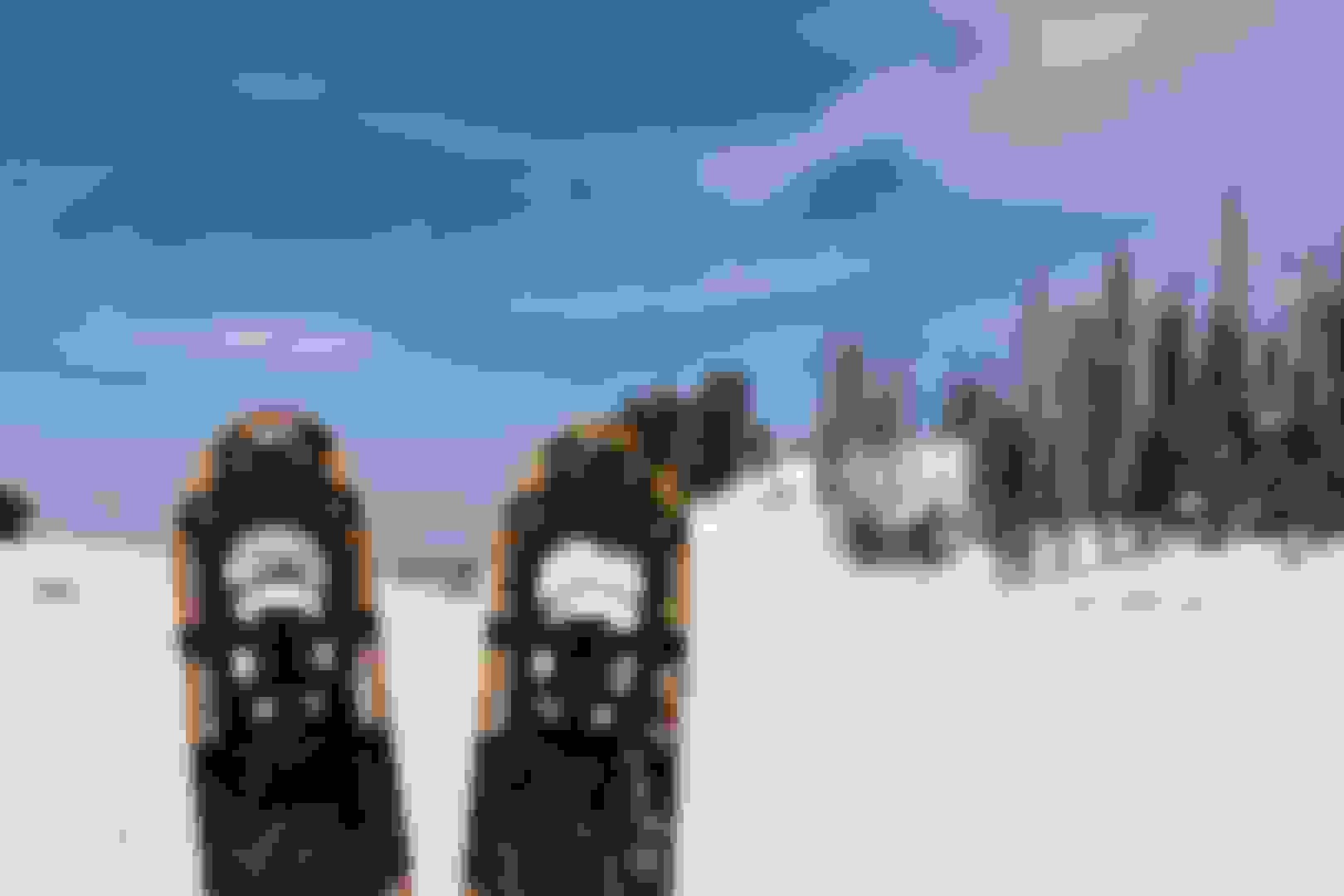
Great park.Cold.I brought the snow shoes with me from Maine,just for this one...........Worth it.
Red Cliffs National Conservation Area, north of St. George,Utah
The conservation area's 130 miles of non-motorized trails provide world-class recreational opportunities while protecting crucial habitat. It encompasses two wilderness areas, the Red Cliffs Recreation Area, the Red Cliffs Campground, over a hundred miles of non-motorized trails, as well as heritage public use sites.
The Paiute Indian Tribe of Utah is a federally recognized tribe of Southern Paiute and Ute Indians in southwestern Utah.
The Paiute Indian Tribe of Utah (PITU) has a reservation composed of ten separate parcels of land, located in four counties in southwestern Utah.
Two Ute bands were absorbed into the Paiute Indian Tribe of Utah. The Pahvant band originally lived in the deserts near Sevier Lake, west of the Wasatch Mountains of western Utah. Many Pahvants were removed by the US government to the Uintah Reservation, but some joined the Kanosh, Koosharem, and other settlements in Utah. The second band was the Moanunts, who traditionally lived near Sevier River and Otter Creek, south of Salina, Utah.
The Paiute Indian Tribe of Utah operates its own programs for health, behavioral care, housing, education, economic development. Proposed economic development enterprises include geothermal plants, agricultural, convenience stores, gift stores, restaurants, hotels, and a cultural centers.
The approximately 45,000 acres of public land in the Red Cliffs NCA are located in south-central Washington County. The towering Pine Valley Mountains and Dixie National Forest lie to the north, while the communities of Ivins, Santa Clara, St. George, Washington, and Leeds ring the National Conservation Area (NCA). The NCA is an important component of the Red Cliffs Desert Reserve, a multi-jurisdictional land base that has been collaboratively managed by BLM, the State of Utah, Washington County, and local municipalities since 1996 to protect populations and habitat of the threatened Mojave Desert tortoise and other at-risk native plant and animal species.
The conservation area's 130 miles of non-motorized trails provide world-class recreational opportunities while protecting crucial habitat. It encompasses two wilderness areas, the Red Cliffs Recreation Area, the Red Cliffs Campground, over a hundred miles of non-motorized trails, as well as heritiage public use sites.
Grand Canyon-Parashant National Monument, northwest Arizona
Parashant is derived from the Paiute word Pawteh 'ee oasoasant, meaning "tanned elk hide," or "softening of the elk hide." Take a lonely and rocky two-track road in a 4x4 to the edge of the Grand Wash Cliffs. Find a stunning solitary vista deep into the Grand Canyon.
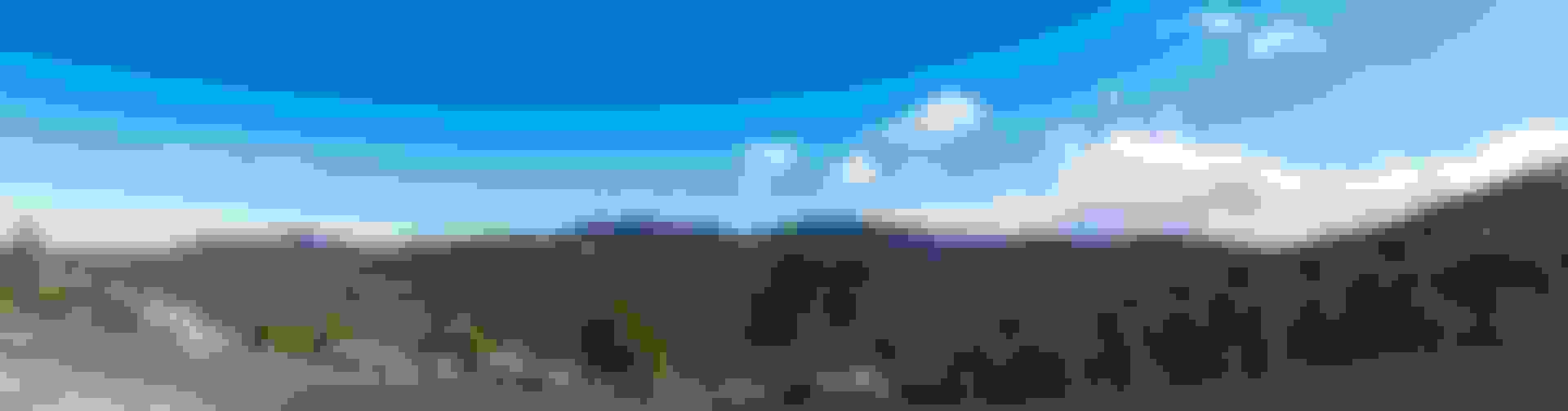
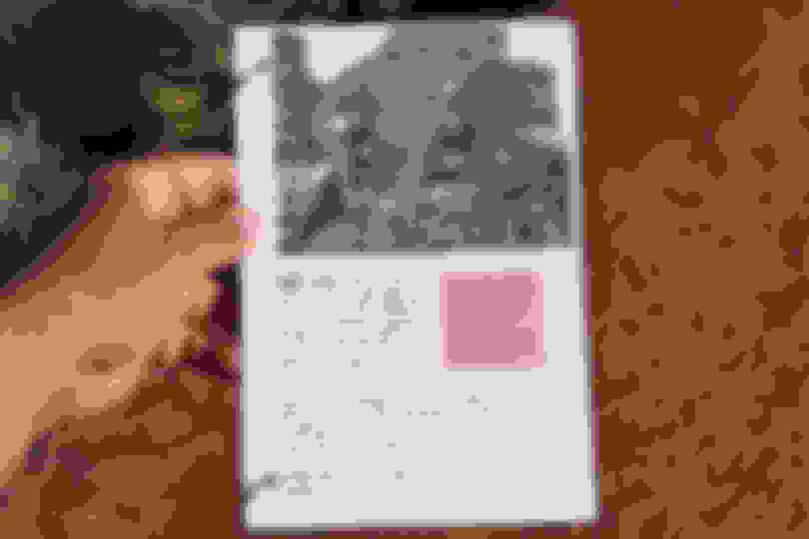
This Mi'kmaw Indian can use a camera! Be sure to click on the photo, then select the full screen icon (the box looking icon between the magnifier and the X button) on this beauty. I'm starting to push this entry level camera.Look out,one day when I become an amateur photographer,I just might upgrade. Scroll down to the following video (Paiute Love Song) below and push play on the youtube video. Scroll back up here and view the photo in full screen..........For a few moments you'll forget all about the world and it's worries around you.
Prior to the 1850s the Paiute people lived relatively peacefully with the other Native American groups. These groups included the Navajo, Ute, and Hopi tribes. Though there was the occasional tension and violent outbreaks between the two groups, Paiutes were mainly able to live in peace with other tribes and settlers due to their loose social structure. Most Paiutes lived in small familial groups, and only gathered together in large settings for matters of trade and commerce. Prior to the 1850s their biggest antagonist raiders from competing tribes; such as the Navajos, Utes, and Hopis. The Navajos were particularly notorious for intruding on Paiute grazing land and engaging in brutal raids to capture Paiute women and children for slave trade.
One of the most important skills the women of the Paiute tribes had was their basket weaving skills. They would often use red-stemmed willows to weave their baskets. These skills were used in almost every aspect of their lives, and the skill is believed to have been passed down from mother to daughter for at least 9,000 years. When they would go to gather and forage they would carry large conical baskets on their back to collect things. Specific tools were created, including ones to strip fruit off of bushes and trees, ones used for winnowing, and ones used to get to roots better. They would also tightly weave these big baskets with clay and resin to create cooking pots and water jugs. Oftentimes, smaller tools were left behind, whereas bigger products such as cooking pots went with the families as they moved around. Based on the region the families were located determined different uses for the weaving. For instance, those who lived by marshes learned to create duck decoys, nets, and rafts to better hunt the water fowl. Another use for this skill was to create their houses. They would use long thin grasses to tightly weave stalks of Cattails together, and in doing so they created these long board-like sections of grasses that they would set up around long willow limbs stuck in the ground.
There are many grand adventures to be had here by vehicle! Expect solitude and stunning vistas. There are hundreds of miles of roads available to discover.
Very nice protected lands to explore and enjoy.I saw just a tiny spec of it.You could drive and hike out to get back in away from it all and just be as one with mother earth.

 03-30-2020 | 09:29 PM


 This park is also a double whammy within the NPS. Next one, coming right up.........


 Be sure to click on the photo, then select the full screen icon (the box looking icon between the magnifier and the X button) on this beauty. I'm starting to push this entry level camera.Look out,one day when I become an amateur photographer,I just might upgrade. Scroll down to the following video (Paiute Love Song) below and push play on the youtube video. Scroll back up here and view the photo in full screen..........For a few moments you'll forget all about the world and it's worries around you.


