When you click on links to various merchants on this site and make a purchase, this can result in this site earning a commission. Affiliate programs and affiliations include, but are not limited to, the eBay Partner Network.
WE SHALL REMAIN was created to address the effects of historical trauma in our tribal communities. Many times, these untended wounds are at the core of much of the self-inflicted pain experienced in Native America. Much like fire, this pain can either be devastatingly destructive or wisely harnessed to become fuel that helps us to rise up and move forward in life with joy, purpose and dignity.
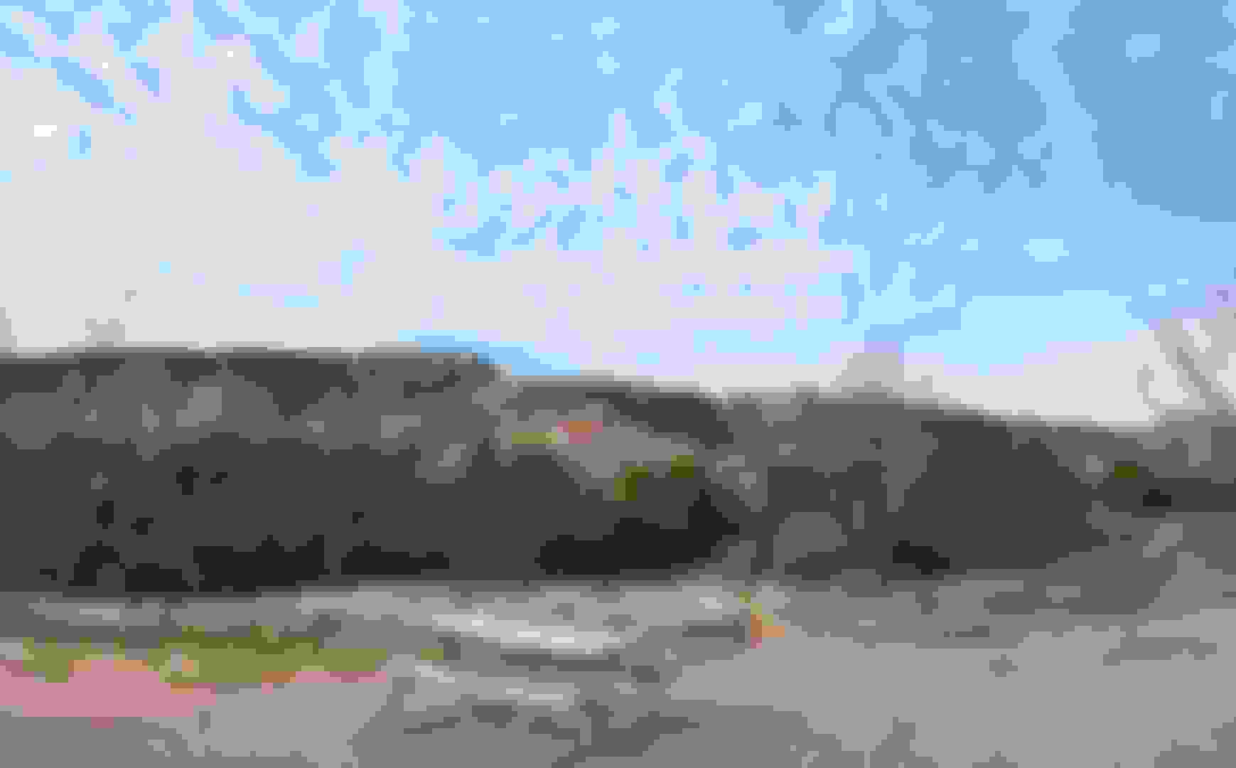
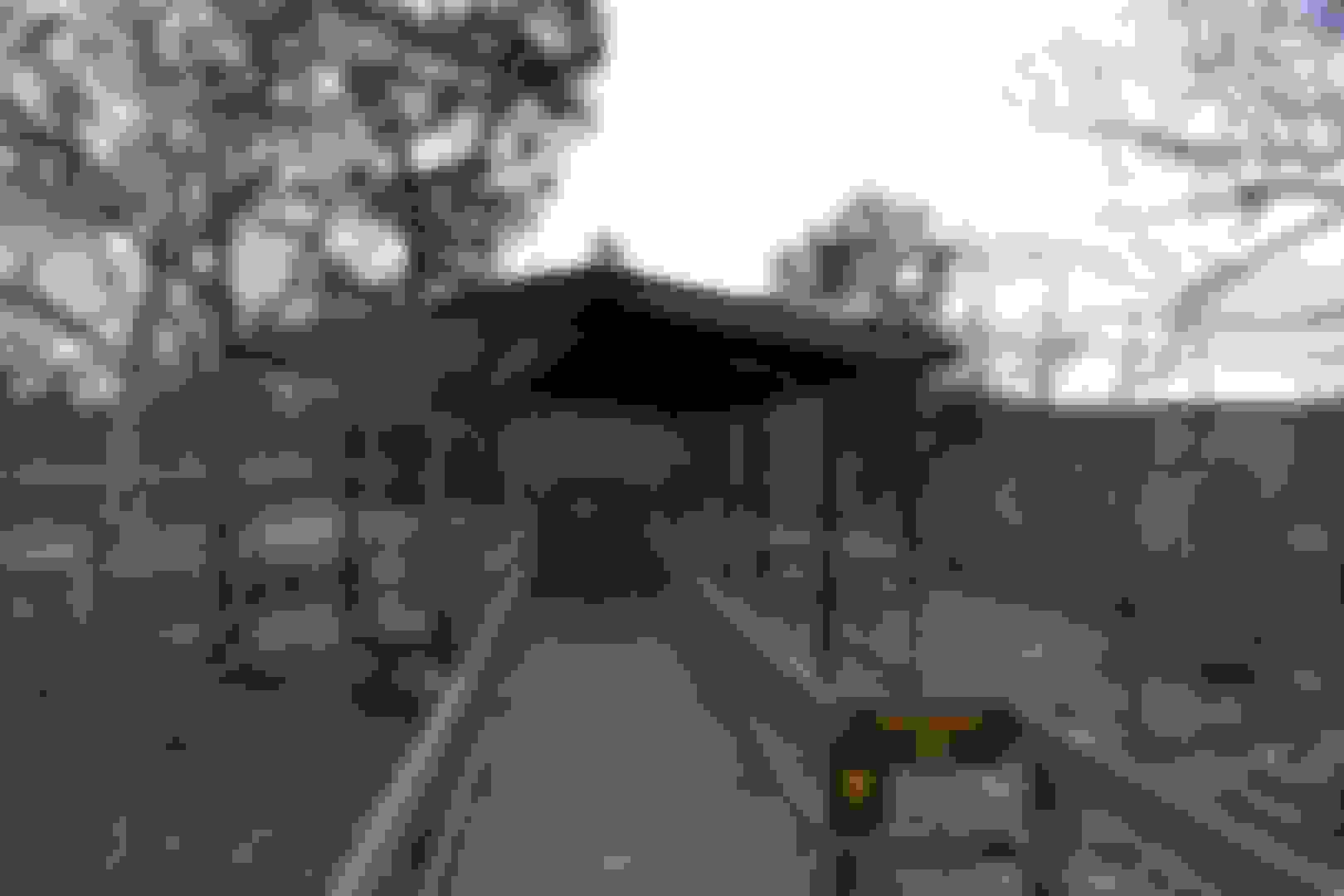
Chickasaw Cultural Center, Chickasaw Nation Territory & Sulphur,Oklahoma
Chickasaw Cultural Center is a state-of-the-art facility featuring exhibits and artifacts for visitors to learn about Native American culture and history.
Its 109-acre campus is home to historical museums with interactive exhibits on Chickasaw tribal history, traditional dancing, and Chickasaw language.
After more than 20 years of dreaming and planning, the Chickasaw Cultural Center now serves as a cultural home and an embodiment of our people’s legacy. Offering a Smithsonian-caliber experience, this world-class destination is dedicated to helping people of all ages and backgrounds share in and celebrate Chickasaw history and culture.
Through beautiful scenery, natural architecture and interactive exhibits, the Chickasaw Cultural Center tells a story of the individuals and families who have struggled, fought and thrived across generations to make Chickasaws the united and unconquerable people we are today. We look forward to entertaining, educating and enlightening you; leaving you with an unforgettable experience and broadened horizons.
With sophisticated townships, strong agricultural skills and evolved ruling systems with religion and laws, the Chickasaws were regarded as the “Spartans of the Lower Mississippi Valley.” We successfully traded with the French, the English and other American Indian tribes. Despite living a generally agrarian lifestyle, our ancestors were strong warriors who fought alongside the English in the French and Indian War. In fact, some historians say that the United States is an English-speaking country because of the Chickasaws’ victory over the French in the battle for the lower Mississippi.
This isn't just visiting a museum but an experience.Be sure to embrace this experience when visiting the Chickasaw National Recreation Area.They even offer a bit of a discount for us fellow enrolled tribal members.
Last edited by FORDF250HDXLT; 04-18-2020 at 09:46 AM.
Reason: Added photos - Updated info
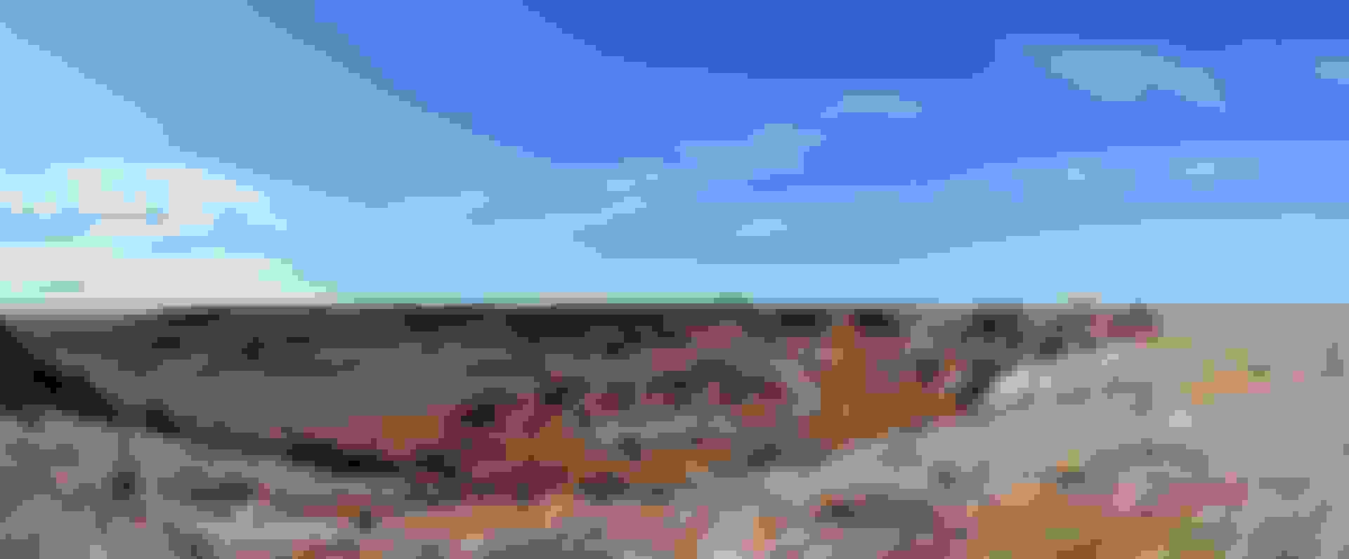
Palo Duro Canyon is a canyon system of the Caprock Escarpment located in the Texas Panhandle near the cities of Amarillo and Canyon. As the second-largest canyon in the United States, it is roughly 120 mi long and has an average width of 6 mi, but reaches a width of 20 mi at places.
Humans have resided in the canyon for approximately 12,000 years. Early settlers were nomadic tribes that hunted mammoth, giant bison, and other large game animals. Later, Apache Indians lived in the canyon, but were soon replaced by Comanche and Kiowa tribes who resided in the area until 1874. At that time, Col. Ranald Mackenzie was sent into the area to transport the Native Americans to Oklahoma. Col. Mackenzie and the 4th Cavalry were able to capture more than 1,400 horses belonging to the tribe. After keeping some of the best horses for themselves, the remainder were taken to nearby Tule Canyon and destroyed. Cut off from their only means of transportation, the Native Americans soon surrendered.
The Battle of Palo Duro Canyon was a military confrontation and a significant United States victory during the Red River War. The battle occurred on September 28, 1874 when several U.S. Army regiments under Ranald S. Mackenzie attacked a large encampment of Plains Indians in Palo Duro Canyon in the Texas Panhandle.
Early on the morning of September 28, two of Mackenzie's Tonkawa scouts found a "fresh trail" and Mackenzie resumed the march, reaching a "wide and yawning chasm" at dawn, where they could see the Indian lodges.Mackenzie's cavalry dismounted and led their horses single-file along a narrow zig-zag path..................
I've been meaning to visit this one for a few years now but never got around to it so I finally decided to take a drive over.A bit busy but I found an open tent site and took the CCC trail the next day.Great visit.
This is a trailer for the documentary, "Palo Duro Canyon" produced by Audrey Kalivoda of Mesquite 90 Productions. Whether you're a lover of history, a back packer, a camper, a bird watcher, an animal lover, a lover of Texas, or you simply love the GREAT OUTDOORS - this film of Palo Duro Canyon State Park is for you. You'll learn about the Texas Panhandle's beauty and historical significance -- hear about Quanah Park, Cynthia Ann Parker, Charlie Goodnight, Georgia O'Keefe, Coronodo's Expedition, Col. Ranald MacKenzie, and much, much more.
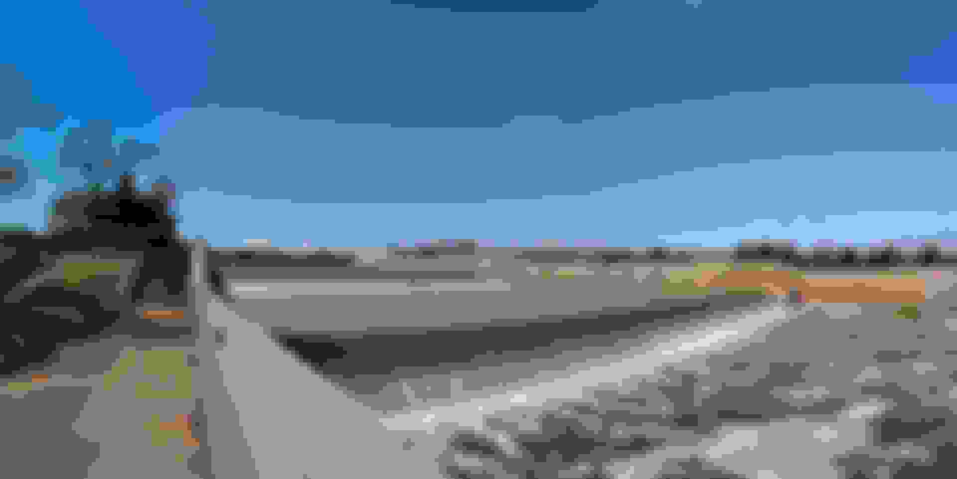
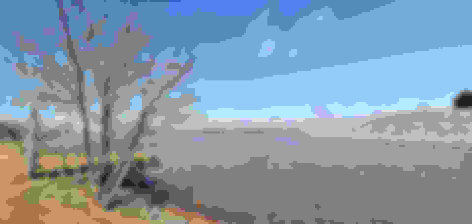
Wash-ita Massacre National Historic Site / National Grassland, Indian Territory & Cheyenne, Ok
On November 27, 1868, Lt. Colonel George Armstrong Custer led the 7th U.S. Cavalry on a surprise dawn attack on a Cheyenne village led by Peace Chief Black Kettle. The event was an example of the tragic clash of cultures that occurred during the Great Plains Wars. It is also a place of remembrance and reflection for those who died here.
By factual definition of "Battle" and "Massacre",it's very clear the NPS doesn't have the courage to rightfully name this park.I have renamed it on their behalf.
The slaughtering of innocent,unarmed Native women and children is no battle.It is a massacre and blatant act of genocide.The truth matters.
Black Kettle, born in the Black Hills of South Dakota about 1803, proved himself in his youth to be a fierce warrior against his tribe's enemies. He was a Suhtai, meaning �Buffalo People,� which is a band within the Cheyenne. He is the son of Swift Hawk Lying Down (Hawk Stretched Out) and Sparrow Hawk Woman (Little Brown-Back Hawk Woman). His siblings are Gentle Horse, Wind Woman, and Wolf (aka Stone Teeth, Iron Teeth or Black Dog).
The night before the Wash-ita attack, Black Kettle returned to his village after a 100-mile trip to Fort Cobb, where he and Arapaho Chief Big Mouth unsuccessfully petitioned the post commander, Colonel William B. Hazen, to have his village moved closer to the fort. Still confident of their safety, he resisted the entreaties of some of his people, including his wife, Medicine Women Later (Ar-no-ho-wok), to move their camp closer to the larger Cheyenne, Arapaho, and Kiowa encampments downriver. As a result, Chief Black Kettle and his wife were shot and killed by soldiers while crossing the Wash-ita River, attempting to escape to the villages downstream. He also lost his other wife, Sioux Woman, during the fight. After Wash-ita, Chief Black Kettle�s 'Wu-ta-pi-u' Band ceased to exist.
Ar-no-ho-wok (Medicine Woman Later or Medicine Woman Hereafter) was a Ponca captive, and the third wife of Chief Black Kettle. He married her in 1855 in Colorado. She was severely wounded during the Sand Creek Massacre on November 29, 1864. Black Kettle risked his life by going back into the Sand Creek camp while Colonel John Chivington's troops were still there to search for her. He found her alive even though she was shot nine times. He carried her back to Kansas and to the safety of the other Cheyenne camps. During the evening of November 26, 1868, she stood outside of Black Kettle's lodge while he and the other chiefs ruminated over what to do and chastised them for not moving the camp down river. On November 27, 1868, she died alongside her husband on the banks of the Wash-ita River during Lt. Col. George A. Custer's dawn attack. According to George Bent, no children were born from this marriage.
Gloss Mountain State Park, Indian Territory & Fairview,Oklahoma
A recreational-educational park that is accessible 365 days a year for hiking and picnicking, from sunrise to sunset.
The Cherokee Outlet, or Cherokee Strip, was located in what is now the state of Oklahoma in the United States. It was a sixty-mile (97 km) wide parcel of land south of the Oklahoma-Kansas border between the 96th and 100th meridians. The Cherokee Outlet was created in 1836.
The Cherokee are one of the indigenous people of the Southeastern Woodlands of the United States. Prior to the 18th century, they were concentrated in what is now southwestern North Carolina, southeastern Tennessee, and the tips of western South Carolina and northeastern Georgia.
he Cherokee Nation instigated a 10-year language preservation plan that involved growing new fluent speakers of the Cherokee language from childhood on up through school immersion programs as well as a collaborative community effort to continue to use the language at home.
The Gloss Mountains, sometimes called the Glass Mountains, have a high Selenite content that mimics a shiny glass exterior. Though there are no lodging or campsites located in Gloss Mountains State Park, guests can enjoy the Cathedral Mountain hike from sunrise to sunset. The spectacular scenery makes this a truly unique Oklahoma state park.
Park facilities include a restroom, pavilions, picnic areas, grills, public water supply and a handicap-accessible trail. The mountain's popular trail runs from the parking lot to the top of Cathedral Mountain and across the mesa, offering a spectacular view of the valley floor and Lone Peak Mountain.
Bo Taylor is a Cherokee musician and the director of the Museum of the Cherokee at the Qualla Boundary.
Describing himself as “big into the old ways,” Bo Taylor feels he has earned his Cherokee name of Come Back Wolf. Bo has “come back” to the traditional Cherokee ways from a time when he was a high school football star, but ashamed to be Indian. He has studied, practiced, and promoted his Cherokee heritage.
Greatly influenced by his time spent with elders Walker Calhoun and Robert Bushyhead, Bo Taylor has learned the Cherokee dances and can read and write the Cherokee language. He has also learned songs and dances from wax cylinders that Will West Long recorded in the 1930s, and has taught these dances to children. He earned a degree in anthropology with a minor in Cherokee Studies from Western Carolina University and now serves as Archivist at the Museum of the Cherokee Indian.
Great Salt Plains State Park, Indian Territory & Jet,Oklahoma
Great Salt Plains State Park is one of Oklahoma's most unique state parks. The barren landscape of the nearby Salt Plains National Wildlife Refuge is comprised of salt left over from an ocean that covered Oklahoma in prehistoric times, and the saltwater lake in the park, Great Salt Plains Lake, is about half as salty as the ocean.
Cherokee, North American Indians.Their name is derived from a Creek word meaning �people of different speech�; many prefer to be known as Keetoowah or Tsalagi.
When encountered by Spanish explorers in the mid-16th century, the Cherokee possessed a variety of stone implements, including knives, axes, and chisels. They wove baskets, made pottery, and cultivated corn (maize), beans, and squash. Deer, bear, and elk furnished meat and clothing. Cherokee dwellings were bark-roofed windowless log cabins, with one door and a smoke hole in the roof. A typical Cherokee town had between 30 and 60 such houses and a council house, where general meetings were held and a sacred fire burned. An important religious observance was the Busk, or Green Corn, festival, a firstfruits and new-fires celebration.
Visitors can take their pick of activities in the park, such as swimming in Great Salt Plains Lake or trekking along bike trails. Equestrians can bring their horses to ride designated trails, and there are nature trails to enjoy while taking in the scenery. Fishing at the lake is fun for the entire family, whether in a boat or on shore. Varieties of fish such as catfish, saugeye, sand bass and hybrid striper can be found in these salty, shallow waters. You can also bring your canoe or kayak and enjoy a trip around the lake viewing the many migratory birds that pass through the area.
The selenite crystal dig area is located southwest of the lake in the Salt Plains National Wildlife Refuge, and access roads are available six miles west of Jet or three miles south of Cherokee. The crystal digging area is open from April 1 to October 15 from sunrise to sunset. Located just under the surface of the salt plains, these crystals usually form into an hourglass shape. Oklahoma is the only place in the world where the hourglass-shaped selenite crystal can be found. While searching for crystals, look for some of the over 300 species of protected birds that live in and can be seen in the refuge.
Fun and interesting stop.I didn't even look this one up.I just stumbled upon it and stopped in.I'll have to visit the refuge someday too.I'm not even supposed to be here on this road trip at this point.I'm supposed to be on my way home,not exploring northern Oklahoma so much haha.
Cherokee territory today is located on the other side of the state in north eastern OK but since I didn't visit that section so much and the Cherokee did have territory over here at one point,I figured I would throw in some of their info for you in these parts.
Last edited by FORDF250HDXLT; 04-18-2020 at 10:26 AM.
Reason: Updated info
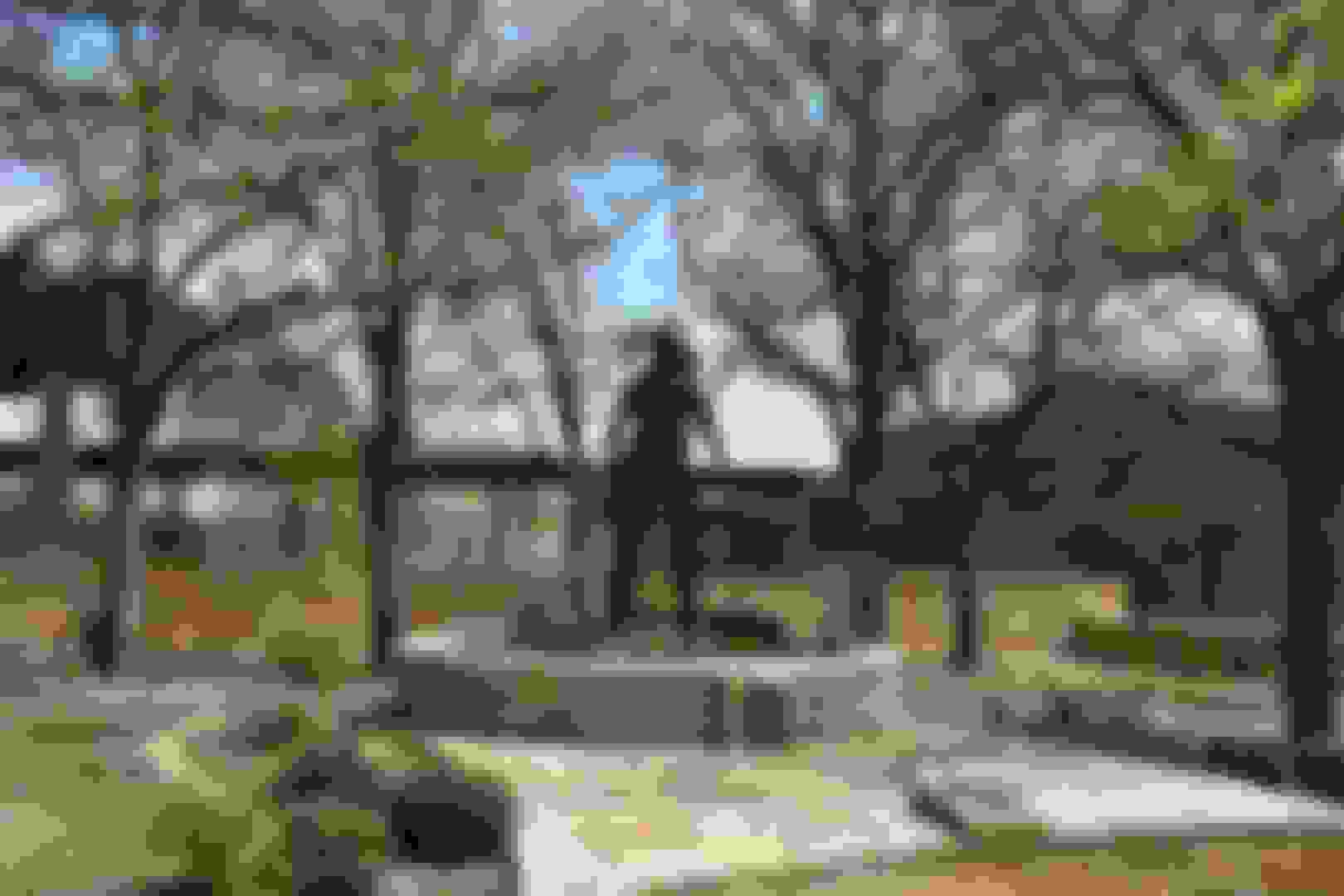
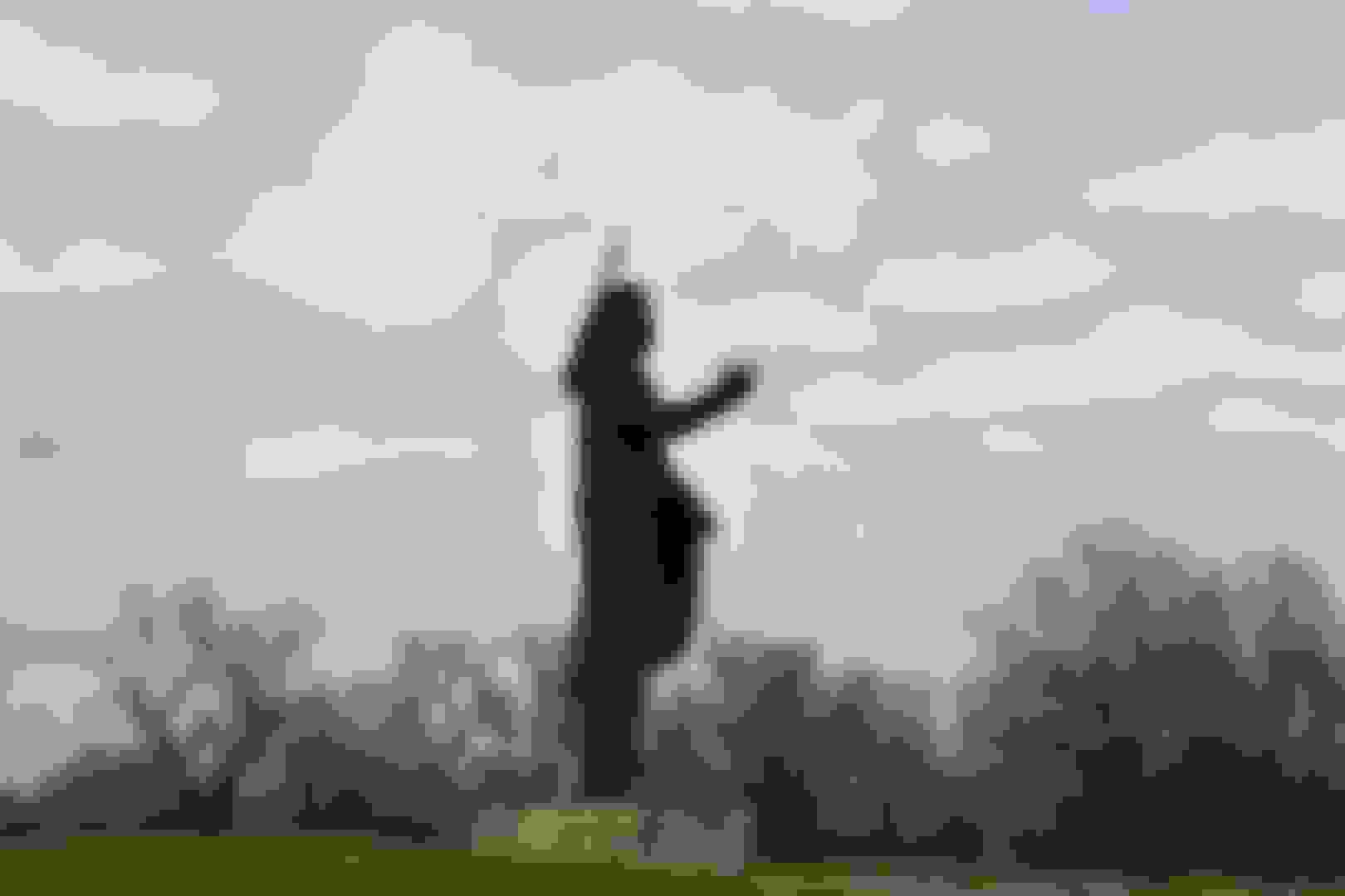
Standing Bear Park Museum and Education Center, Indian Territory & Ponca City,Oklahoma
Standing Bear was a Ponca chief and Native American civil rights leader who successfully argued in U.S. District Court in 1879 in Omaha that American Indians are "persons" and became the first Indian in the US Nation to be granted with civil rights under US law. He is a hero among heroes for all Native American Indians.
A monumental tribute to all Native Americans, this 22-foot bronze statue is of Ponca Chief Standing Bear, created by Cowboy Artist of America, Oreland C. Joe. The magnificent monument of Standing Bear is majestic as a very realistic depiction of Standing Bear - with right hand extended to the east and his eyes, gentle and wise, overlook the ancient Arkansas River valley, where the original Chief Standing Bear is believed to have walked more than 100 years ago. The Standing Bear Museum and Education Center features tribal displays, traveling exhibits, artwork, and other educational material.
The local tribes of the museum request no pics to be taken in the museum.I of course honored their request.
A monumental tribute to all Native Americans, this 22-foot bronze statue is of Ponca Chief Standing Bear, created by Cowboy Artist of America, Oreland C. Joe. The magnificent monument of Standing Bear is majestic as a very realistic depiction of Standing Bear - with right hand extended to the east and his eyes, gentle and wise, overlook the ancient Arkansas River valley, where the original Chief Standing Bear is believed to have walked more than 100 years ago.
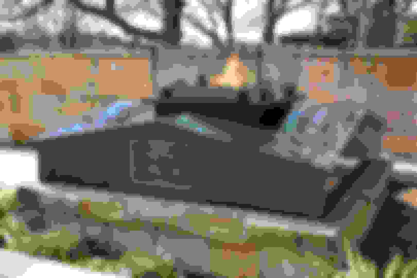
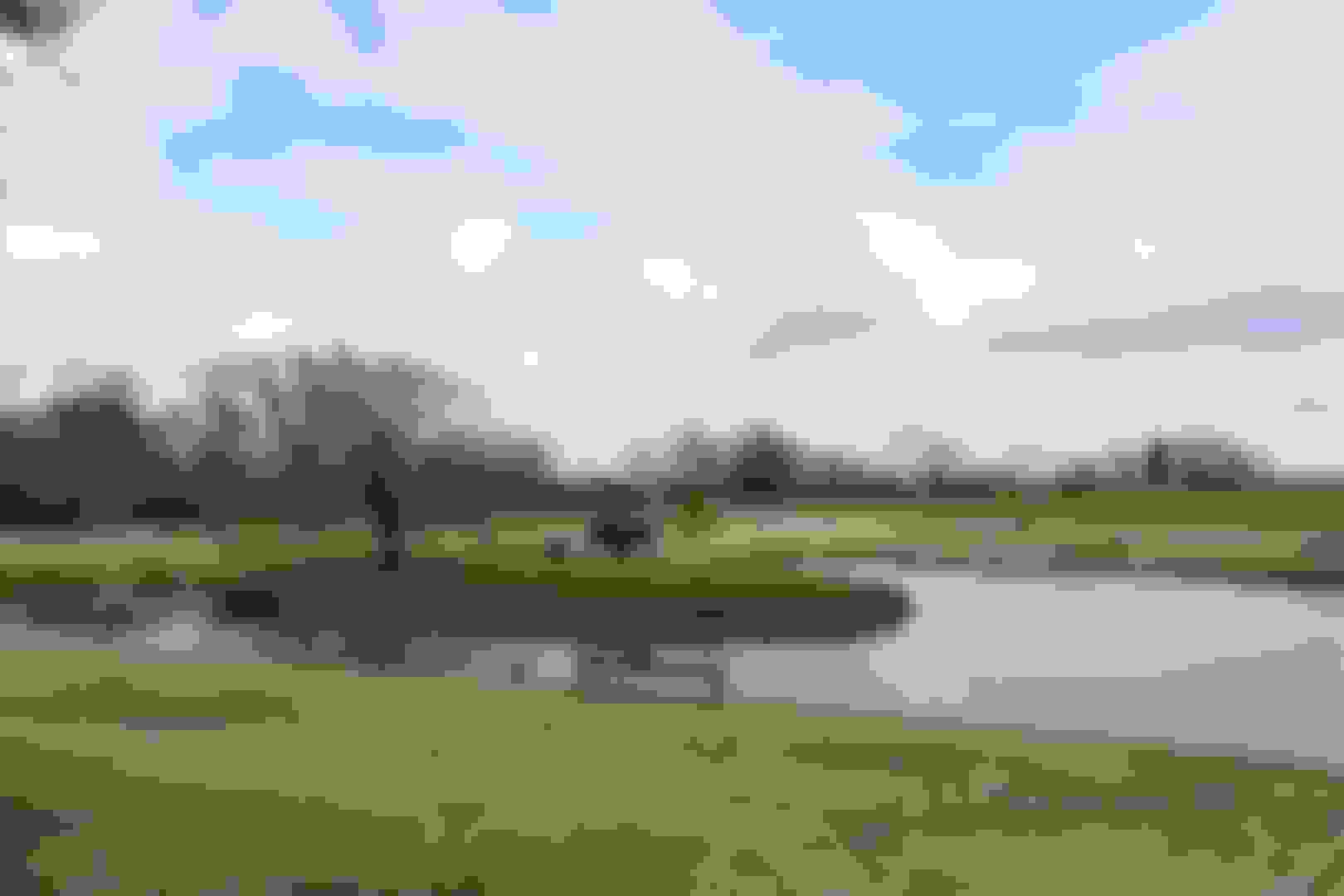
The 63-acre park encompasses more than eight fully developed acres that includes off street parking; a one-acre pond with central arrowhead island; a walking trail winding through native grasses and wildflowers to the monument site, and a shaded memorial grove at a peaceful sitting area along the way.
A colorful 60-foot diameter circular viewing court is located at the feet of Standing Bear and contains large sandstone boulders around its parameter affixed with the official brass seals of the six area tribes, Osage, Pawnee, Otoe-Missouria Kaw, Tonkawa and Ponca. The names of eight clans of the Ponca Tribe are inlaid in the floor of the plaza in earth tone colors of terra cotta red, pine green and various shades of browns. A center pool reflects the sky and at its center the eternal flame of "grandfather fire" burns on a large round sandstone pedestal.
The published mission of the dedicated group is "To educate all nationalities about the Native American heritage and the important role Native Americans have played in developing our country diverse culture; To promote better understanding and communication among all our nations cultures; To increase economic and educational opportunities for Native Americans; and To provide a catalyst to enhance the self-worth of all Native Americans.
The first time an Indian was permitted to appear in court in this country and have his rights tried was in the year 1879.
The court room was crowded with fashionably dressed women; and the clergy, which had been greatly stirred by the incident, were there in force. Lawyers, every one in Nebraska, and many from the big Eastern cities; business men; General Crook and his staff in their dress uniforms (this was one of the few times in his life that Crook wore full dress in public); and the Indians themselves, in their gaudy colors. The court room was a galaxy of brilliancy.
On one side stood the army officers, the brilliantly dressed women, and the white people; on the other was standing Bear, in his official robes as chief of the Poncas, and with him were his leading men. Far back in the audience, shrinking from observation, was an Indian girl, who afterward became famous as a lecturer in England and America. She was later known on both continents by a translation of her Indian name, In-sta-the-am-ba, Bright Eyes.
Attorney Poppleton’s argument was carefully prepared, and consumed sixteen hours in the delivering, occupying the attention of the court for two days. On the third day Mr. Webster spoke for six hours. And during all the proceedings, the court room was packed with the beauty and culture of the city.
Toward the close of the trial, the situation became tense. As the wrongs inflicted on the Indians were described by the attorneys, indignation was often at white heat, and the judge made no attempt to suppress the applause which broke out from time to time. For the department, Mr. Lambertson made a short address, but was listened to in complete silence.
It was late in the afternoon when the trial drew to a close. The excitement had been increasing, but it reached a height not before attained when Judge Dundy announced that Chief Standing Bear would be allowed to make a speech in his own behalf. Not one in the audience besides the army officers and Mr. Tibbies had ever heard an oration by an Indian. All of them had read of the eloquence of Red Jacket and Logan, and they sat there wondering if the mild-looking old man, with the lines of suffering and sorrow on his brow and cheek, dressed in the full robes of an Indian chief, could make a speech at all. It happened that there was a good interpreter present—one who was used to “chief talk.”
Standing Bear arose. Half facing the audience, he held out his right hand, and stood motionless so long that the stillness of death which had settled down on the audience, became almost unbearable. At last, looking up at the judge, he said:
“That hand is not the color of yours, but if I ***** it, the blood will flow, and I shall feel pain. The blood is of the same color as yours. God made me, and I am a man. I never committed any crime. If I had, I would not stand here to make a defense. I would suffer the punishment and make no complaint.”
Still standing half facing the audience, he looked past the judge, out of the window, as if gazing upon something far in the distance, and continued:
“I seem to be standing on a high bank of a great river, with my wife and little girl at my side. I cannot cross the river, and impassable cliffs arise behind me. I hear the noise of great waters; I look, and see a flood coming. The waters rise to our feet, and then to our knees. My little girl stretches her hands toward me and says, ‘Save me.’ I stand where no member of my race ever stood before. There is no tradition to guide me. The chiefs who preceded me knew nothing of the circumstances that surround me. I hear only my little girl say, ‘Save me.’ In despair I look toward the cliffs behind me, and I seem to see a dim trail that may lead to a way of life. But no Indian ever passed over that trail. It looks to be impassable. I make the attempt.
“I take my child by the hand, and my wife follows after me. Our hands and our feet are torn by the sharp rocks, and our trail is marked by our blood. At last I see a rift in the rocks. A little way beyond there are green prairies. The swift-running water, the Niobrara, pours down between the green hills. There are the graves of my fathers. There again we will pitch our teepee and build our fires. I see the light of the world and of liberty just ahead.”
The old chief became silent again, and, after an appreciable pause, he turned toward the judge with such a look of pathos and suffering on his face that none who saw it will forget it, and said:
“But in the center of the path there stands a man. Behind him I see soldiers in number like the leaves of the trees. If that man gives me the permission, I may pass on to life and liberty. If he refuses, I must go back and sink beneath the flood.”
Then, in a lower tone, “You are that man.”
There was silence in the court as the old chief sat down. Tears ran down over the judge’s face. General Crook leaned forward and covered his face with his hands. Some of the ladies sobbed.
All at once that audience, by one common impulse, rose to its feet, and such a shout went up as was never heard in a Nebraska court room. No one heard Judge Dundy say, “Court is dismissed.” There was a rush for Standing Bear. The first to reach him was General Crook. I was second. The ladies flocked around him, and for an hour Standing Bear had a reception.
Though the judge branded Native Americans as a “weak, insignificant, unlettered, and generally despised race,” he ultimately ruled that “an Indian is a 'person' within the meaning of the laws of the United States” and that “no rightful authority exists for removing by force any of the relators to the Indian Territory.” He ordered the Ponca to be released from custody.
Standing Bear's Footsteps is the story of an Indian chief who went to court to prove he was a person—and in the process redefined what it means to be an American. The 60-minute high definition documentary weaves together interviews, recreations and present day scenes to tell a story about human rights, one that resonates powerfully in the present.
Standing Bear's Footsteps
Special | 58m 22s |
Aired: 06/10/11
Rating: NR
Very nice park and museum. I was just passing through and again,supposed to be at least pretending to be on my way home by now but I'm not going to see something like this right on route and not stop,I mean come on haha.Be sure to visit if you're in the area.
Last edited by FORDF250HDXLT; 04-18-2020 at 02:46 PM.
Reason: Updated info
Come and join me on the good red road.I too once lived in darkness on the black road.I left drinking over a decade ago now and enjoy a free life.Once you leave drugs and or alcohol,your mind becomes much more clear and you think and act with wisdom.It's not a difficult road to follow so much as it's a very difficult road to first find and walk on.Once on the road,you'll never want to leave.Keep your chins up my fellow Native brothers and sisters.Let's show the world how special we are! To all you non-Natives,you're special too and if you're fighting the battle of drugs,keep fighting and never give up! The spirit living inside of you wants you clean and wholesome.
Osage Hills State Park, Indian Territory & Pawhuska,Oklahoma
Osage Hills State Park is a prime example of Oklahoma's natural beauty. With lush forests, rocky bluffs and serene waters, the park boasts 1,100 acres of scenery. A visit to Osage Hills State Park in the fall will inspire visitors, as the foliage transforms from green to vivid shades of yellow, orange and red.
The Osage Nation is a Midwestern Native American tribe of the Great Plains. The tribe developed in the Ohio and Mississippi river valleys around 700 BC along with other groups of its language family.
The term "Osage" is a French version of the tribe's name, which can be roughly translated as "warlike". The Osage people refer to themselves in their indigenous Dhegihan Siouan language as Wazhazhe, or "Mid-waters".
In the 19th century, the Osage were forced to remove from Kansas to Indian Territory (present-day Oklahoma), and the majority of their descendants live in Oklahoma. In the early 20th century, oil was discovered on their land. Many Osage became wealthy through leasing fees generated by their headrights. However, during the 1920s, they suffered manipulation and numerous murders by whites eager to take over their wealth (for more on that see; Osage Indian murders. ) In the 21st century, the federally recognized Osage Nation has ~20,000 enrolled members.
Trails on the rocky, hilly terrain provide a challenge to hikers and mountain bikers, and there are many to choose from in Osage Hills State Park. Visitors may catch a glimpse of white-tailed deer or a wild turkey while on the trails. Tennis courts and a ball field are available to visitors, and the swimming pool provides a great way to cool off on a hot day.
Fishing is a favorite activity in Osage Hills State Park. Anglers can test their skills and try their luck at Lookout Lake or at Sand Creek, which winds through the park. Bass, crappie, catfish and perch, among other fish, can be found. Fishing boats are available for rental at the lake.
A total of 23 tent sites and 20 RV sites with water and electricity hookups are options for a stay at Osage Hills State Park. The park also offers a dump station for RVs. Visitors can relax in one of the two wall cabins or eight native stone cabins, built by the Civilian Conservation Corp in the '30s. Each cabin has central heat and air, a fireplace, kitchen facilities and allows pets for a small nightly fee. Cabins one through three and five through eight offer one bedroom, while cabin four offers two bedrooms. A group camp is also available. The park offers a picnic area and picnic pavilions, as well as comfort stations and a facility with modern bathhouses.
Petroglyphs, quaint hiking shelters and incredible Ozark overlooks define the Washington State Park experience. Easy access to the Big River makes the park great for swimming or fishing. Hikers can choose from three rugged hiking trails. Buildings constructed by African-American Civilian Conservation Corps stonemasons complement the park and add to its sense of history.
The carvings, or petroglyphs, carved in dolomite rock, are believed to have been made around 1000 to 1600 C.E. and to give clues to the lives of the prehistoric Native Americans who once inhabited this part of Missouri. It is also believed that the park served as ceremonial grounds for these Middle Mississippi people who were related to the builders of the Cahokia Mounds in Illinois.
Most of the carvings are of birds, arrows, footprints, turkey tracks, human figures, and various geometric shapes and patterns. The three petroglyph sites in the park are thought to be all that is left of a more extensive site. They make up almost 75 percent of the known petroglyphs in Missouri and contain over 350 symbols.
The petroglyphs were listed on the National Register of Historic Places in 1970 as the Washington State Park Petroglyph Archeological Site.
Representing both characteristic and unique features of the eastern Ozarks, Washington State Park contains a rich mixture of native forests. The Washington State Park Hardwoods Natural Area, bordering the Big River floodplain, is moist and robust with a wide assortment of trees. Under the canopy of tall Kentucky coffee, sugar maple and slippery elm trees, the ferns and wildflowers mingle with understory pawpaw and bladdernut trees. In early spring, the natural area hosts one of the park system's most spectacular wildflower shows as blue-eyed Marys, celandine poppies, bluebells, trilliums and violets burst into bloom.
Another notable natural feature of the park are the towering dolomite bluffs overlooking the Big River, a popular floating and canoeing waterway. Below the bluffs, anglers enjoy catching bass, catfish, bluegill and carp. Swimmers and sunbathers have a choice between a natural gravel bar in the river or an ADA accessible swimming pool that includes a waterslide. A gazebo, located at the scenic overlook, provides a majestic view of the Big River and surrounding area. Year-round, naturalist staff lead a variety of programs to explain the significance of the park features.
There are three marked hiking trails, including the 1,000 Steps Trail, Opossum Track Trail along the bluffs overlooking the river, and the more rugged Rockywood Trail, which includes a backpack camp.
Other campers can make use of both basic and electric campsites at the campground, which includes a dumping station, modern restrooms and a showerhouse. One and two bedroom, air-conditioned cabins with fully equipped kitchens are available for rent. A special-use camping area is also available for organized groups.
Cool visit.Right up my alley.Pitched a tent and took a look around.Why name a state park the name of another state altogether? I haven't a clue but they did it here lol.
Good stop on a road trip.Great stop if your looking to go camping and hiking in the area.I could hang out here for days but I just have to get home.....eventually.

 03-31-2019 | 12:59 PM